GIS Spatial Mapping
Insight provides a range of consulting and training services in GIS Spatial Mapping.
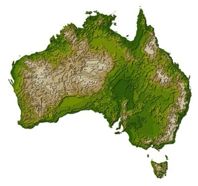
A special kind of data visualization is GIS spatial mapping. There are many examples of engineering data with a spatial distribution (such as varying across Australia) including:
Land use (such as farming and residential)
Mining deposits
Temperature and climate
Land elevation
GIS methodology is used both for producing data visualization and also for exploring the statistical patterns found within such data.
See details about our current work.
See details about the training that we provide.